Wayfinding can be defined as the process of using spatial and environmental information to find our way in the built environment.

Leave my apartment.

Turn right.

At stop sign turn right. (CVS is in front of you.)

Speed limit 35, fork off left.
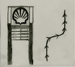
At Shell station get in right lane.

Construction on left side of railroad tracks.

Turn right at West Wendover Ave.

 Pass a ton of car dealerships.
 Pass a lot of shopping stores.
 Get gas at Sheetz because they have best prices!
 Passover Highway 40 and 421.
Go by a lot of restaurants.
 Pass K-Mart on left.
 Turn left at next Stoplight, it has no sign!
 Go over two speed bumps and through a gate.
 And you have made it to Forsyth County Animal Shelter!!!
After wayfinding, our spade group then had to use landmarks, nodes, districts, paths and edges to demonstrate each personal wayfind as a whole group. I demonstrated a Landmark, University Village.

This is the whole classes representation of the Wayfinding project in a game format. We decided you don't know exactly where or how you will get somewhere but to get there you must go through/by nodes, landmarks, districts, edges and paths.

(on the floor)
 (Hanging on the wall)